Hi,
I sometimes have to help in getting data from the terrain and draw into a CAD program.
getting the data of the land and drawing it is not a problem, facades are more complicated, you get a lot of dots each one with the height data but they are all put into a line that is the facade projection on the horizontal plane,
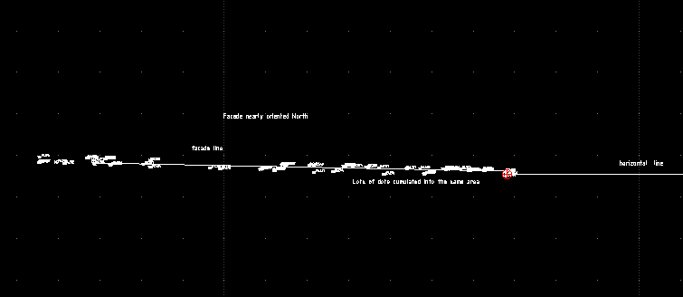
identifying each one and projecting one by one is a pain, so I thought that I could automate it somehow.
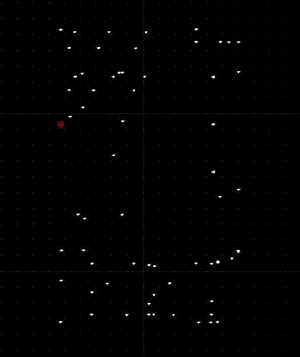
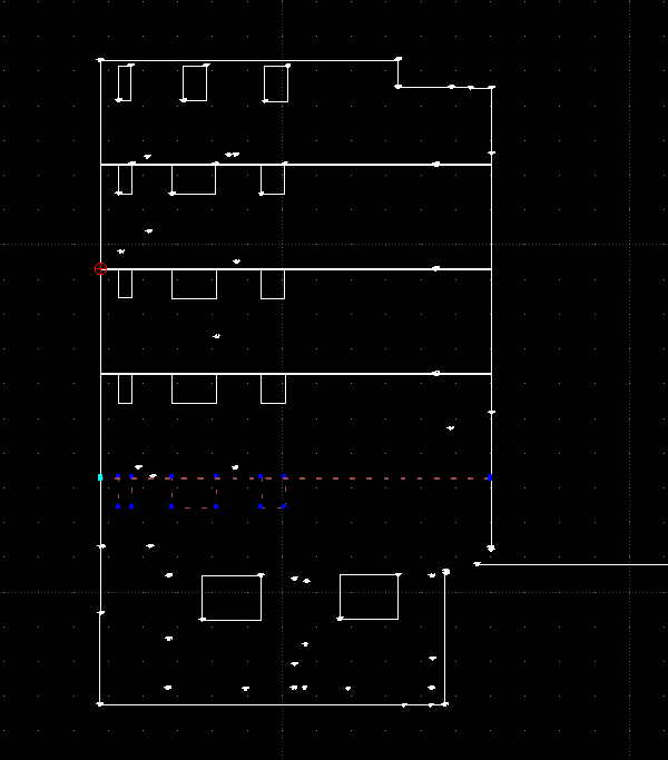
I have created a gnumeric spreedshet, it rotates the dots in order to get the facade in the front and transposes the height values in order to get them projected in the plane.
The spreedshet
Rotate_dots.gnumericThe data used to create the samples
VEINS.txtThe same data after being processed by the spreedshet
Veins_facade.txtThe facade to be drawn
I know that this is a very niche use case, but hope this helps somebody
Pere

