1. Try to draw a bounding box for each (the source and target);
2, Move the source with its bounding box to the target (say, by aligning the min, i.e. the lower left corners);
3, scale the source to the target, around the lower left corner, to align the upper right corners.
Not automatic though.
Another thought, it might be good for us to add a feature: add a bounding box for a block (or any selected entities)
dellus wrote
I fear this can't be solved easily.
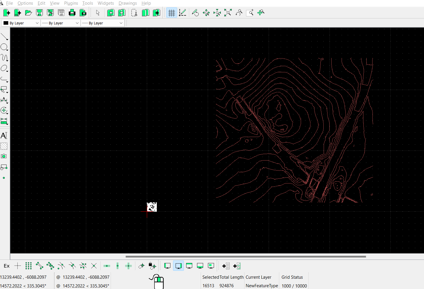
1. The CAD file normally is not scaled, it is all 1:1, real world size. Only a possible print out will be scaled. If the map is taken from a publication it might be already scaled. So what is the origin?
The units used are a matter. A look into Options - Current Drawing Preferences might help.
2. You can rescale the contour map like any other objects by selecting all and use Tools - Modify - Scale. I can't tell how to find out the factor, it may be some integer value like 0.1 to guess or estimate. You may find some small geographic grid marks in the maps.
3. If you really know the reference point values you should shift the map when importing or immediately afterwards by the according countervalues with Tools - Modify - Move/Copy before shifting it by hand or any other actions.
If you provide the two original files here I can have a look on them.
dellus wrote
I fear this can't be solved easily.
1. The CAD file normally is not scaled, it is all 1:1, real world size. Only a possible print out will be scaled. If the map is taken from a publication it might be already scaled. So what is the origin?
The units used are a matter. A look into Options - Current Drawing Preferences might help.
2. You can rescale the contour map like any other objects by selecting all and use Tools - Modify - Scale. I can't tell how to find out the factor, it may be some integer value like 0.1 to guess or estimate. You may find some small geographic grid marks in the maps.
3. If you really know the reference point values you should shift the map when importing or immediately afterwards by the according countervalues with Tools - Modify - Move/Copy before shifting it by hand or any other actions.
If you provide the two original files here I can have a look on them.